DEFENCE-GRADE SPATIAL STACK
Tactical edge intelligence
& perception.
An integrated hardware and software ecosystem designed to deliver continuous situational awareness, 3D photorealistic spatial reconstruction, and precision on-edge compute in contested environments.

The physical layer
It begins
at the edge.
VIZHI XR integrates multi-sensor perception, on-edge computing, and real-time spatial pipelines to give soldiers a real-time, shared spatial understanding of their environment — directly from the helmet.

Seeing the environment
Map the world around
you.
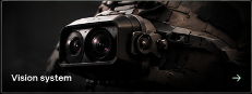
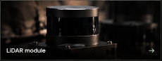
Vizhi scans the environment through cameras, LiDAR and inertial sensing, reconstructing terrain and structures as 3D spatial data. Point clouds and Gaussian Splatting turn the physical world into a spatial layer that can be explored, shared and understood.

Spatial intelligence
From reality
to a model.
Transform real-world terrain into an interactive spatial model with Vizhi Spatial Studio software for planning missions, simulating scenarios and understanding the battlespace.
Image is illustrative.
ENGINEERED FOR REAL-WORLD OPERATIONS
Mission-grade
hardware.
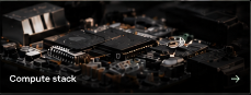
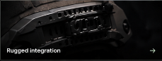
A modular, rugged and field-ready system combining high-resolution vision, LiDAR, inertial sensing and edge compute for real-time spatial intelligence.
imaging
mapping
compute
design